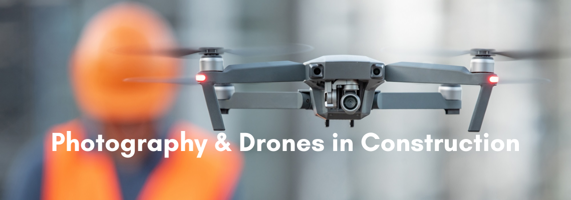
You generally hear them before you see them. You tend to be looking here and there until you spot it. A splayed machine rising near vertically into your line of sight. Hovering. Until it banks and zooms off. No matter what innocuous activity I’m partaking in, I always squint in suspicion at our local neighborhood drone as it zips off over the farm. My dog also tends to get a bark in.
No matter how commonplace drones have become, they’re toys for crying out loud; they still give me the creeps. They do still have an air of science fiction about them. And we all know they have cameras.
Unmanned aerial vehicles (UAV’s), commonly referred to as a drone, are considered aircraft without pilots on board. They are controlled by remote control by a human on the ground (I sincerely hope so, because I’ve seen that movie, and it does not end well for us). They were initially developed by the military, for less than savory undertakings “dull, dirty or dangerous”, but with the development of their technology, and the reduction of cost; their use expanded into non-military applications. They are used for aerial photography, agriculture, product delivery, surveillance and policing, an inspection of infrastructure, science, smuggling, and drone racing (because “of course they are”).
In South Africa, in the commercial sphere to legally operate, you are required to have a Remote Pilots License (RPL) and a ROC (Remote Operator Certificate). There are laws governing the flying of drones, and should you break the law you could be given a fine, have your drone confiscated, or go to jail.
They are, however, proving very useful in a variety of industries.
Drones are being used in the construction industry for inspections and to keep abreast of project progress, as well as to keep on top of site safety and security. Drones and aerial photography are proving cost-effective and efficient. They are used for land mapping and for ground assessment. And although aerial images from high up, and wide angles do come to mind, drones are also used for close-up inspections.
Drone photography is even being incorporated into CAD software. These images are being used for progress reports as well as for accurate measurements.
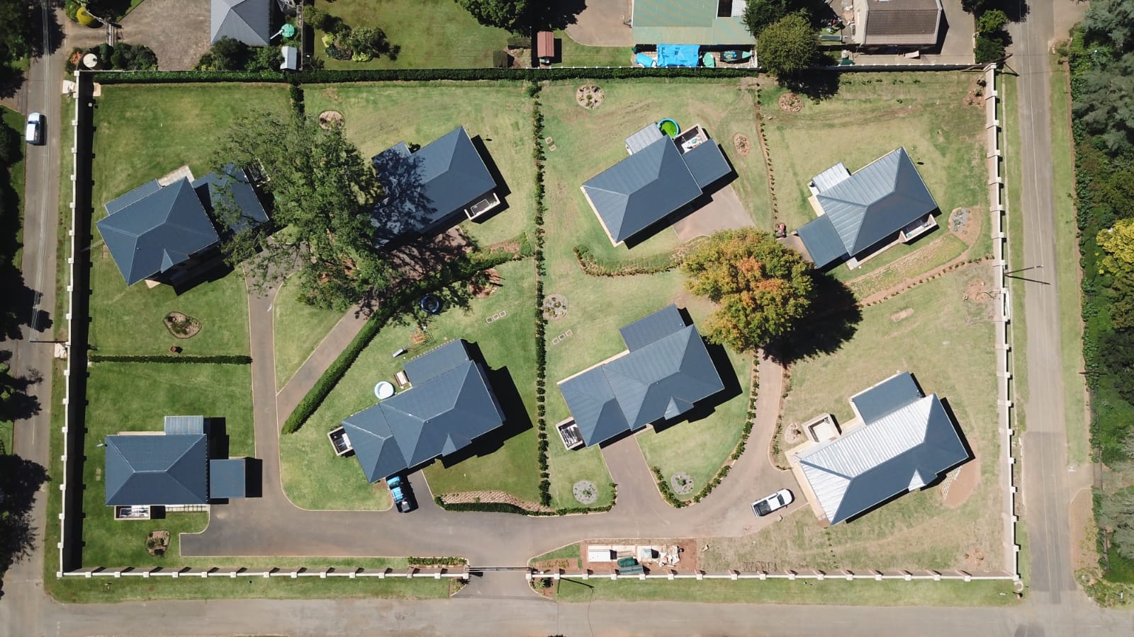
They are invaluable when it comes to marketing. Often the photographs captured via drones, are stunning. They are arresting not only in their composition but in their sheer uniqueness. We are not used to seeing the world from such an aerial perspective. Plus a lot of the time, the images are unobstructed.
A bird’s eye view has been replaced by a drone’s camera view.

Sources:
Fly Guys
Drone Photography Services
Wikipedia
Robert Lowdon
CAA
Law for All
Baithe
To view more Articles, please visit our Leads 2 Business Blog.
If you are interested in becoming one of our subscribers, please visit Leads 2 Business.
To view notes with screenshots on how to use our website, please visit Leads 2 Business Wiki.
About Claire Donaldson
I started working at Leads 2 Business in February 2005, and have served as Head of Department of Daily Tenders from 2007 until the present. I oversee both the Daily Tenders South Africa and Africa Departments.
- Web |
- More Posts(66)


Leave a Reply